KML is a file format used to display geographic data in an Earth browser such as Google Earth. KML uses a tag-based structure with nested elements and attributes and is based on the XML standard. MapIt can display KML-data saved in the issue attachments, Mapit will try to parse attachments with .kml file ending. An option in the issue pop-up toggles the display of KML-files.
Activation
Make sure KML support has been activated for Mapit. Please contact the JIRA Administrator for this purpose.
Kml files in Mapit
Add the kml attachment to the correct JIRA issue
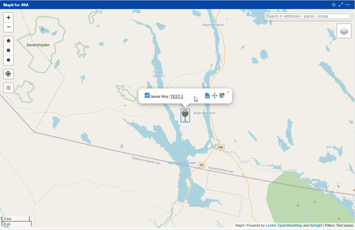
Go to Mapit and find this issue on the map
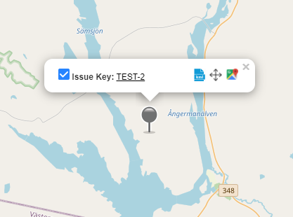
Click on the issue icon to open the popup
Click on the to activate the view from a kml file
For example
Icon deactivates the view from KML file
A single JIRA Issue can contain multiple KML files.
JavaScript errors detected
Please note, these errors can depend on your browser setup.
If this problem persists, please contact our support.