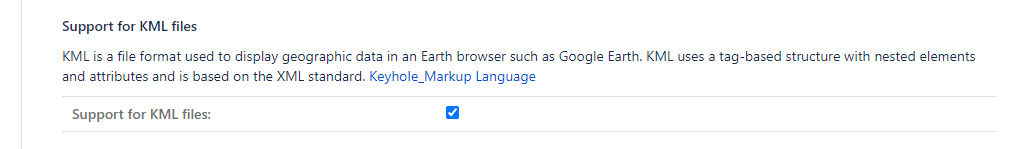
KML is a file format used to display geographic data in an Earth browser such as Google Earth. KML uses a tag-based structure with nested elements and attributes and is based on the XML standard. MapIt can display KML-data saved in the issue attachments, Mapit will try to parse attachments with .kml file ending. An option in the issue pop-up toggles the display of KML-files. KML-support is enabled under Mapit general configuration.
JavaScript errors detected
Please note, these errors can depend on your browser setup.
If this problem persists, please contact our support.